My homelands becomes a Super National Nature Reserve!
- Josh Dury Photo-Media

- Oct 25, 2023
- 4 min read
Updated: Jan 16, 2024

You heard it right! The Mendips Hills (AONB*) (SSI*) under the order of His Majesty, King Charles, has been recognised as a part of The King's Series of new National Nature Reserves.
The term "Super" National Nature Reserve (SNNR) is the second of its kind here in the United Kingdom, with the first being declared at Purbeck Heath in Dorset.
The Mendip NNR is largely recognised for its large stretches of limestone grasslands, ancient wooded ravines, and stunning geology. Local species such as adder, greater horseshoe bats, and skylark; and woodland and grassland plants such as the Cheddar pink are identified and is a protected home to nature.
As it currently stands, the Mendips stands as a fragmentation of sites. By farmland, nature reserves, this newly defined status is hoped to join The Mendips together as one protected area, combined.

This initiative in turn will protect over 1,400 hectacres of land between Brean Down by Weston-super-Mare, across the south-facing grasslands and woodlands of the Mendip Hills, to the eastern side of Wells. The NNR links ecologically important sites along the popular walking route of "The Mendip Way". More than 400 hectares will be land that has not previously been managed primarily for conservation.
The main objectives:
FOR WILDLIFE. Creating this new NNR will enhance the biodiversity of the Mendip Hills, making it a bigger, better and more joined up place for wildlife to thrive. It will help create a sustainable future for local communities, farmers, and businesses through the development and promotion of a nature rich landscape.
FOR PEOPLE. A key ambition of the Mendip NNR is to improve inclusivity – both for the local community and the surrounding urban areas. Within a 20-minute drive there is an urban population of 700,000 people. We want to enable people of all backgrounds to enjoy nature and will create accessible ways to enjoy the landscape.
TOGETHER. Nine organisations will work in partnership to improve collaboration and management for wildlife and geology. This partnership will be at the heart of nature recovery in the Mendip Hills. It will enable land managers to work together to maximise the benefits for nature, science, and people, improving access and creating more opportunities to connect with the natural world.
But what does this important news mean from an astronomical perspective?

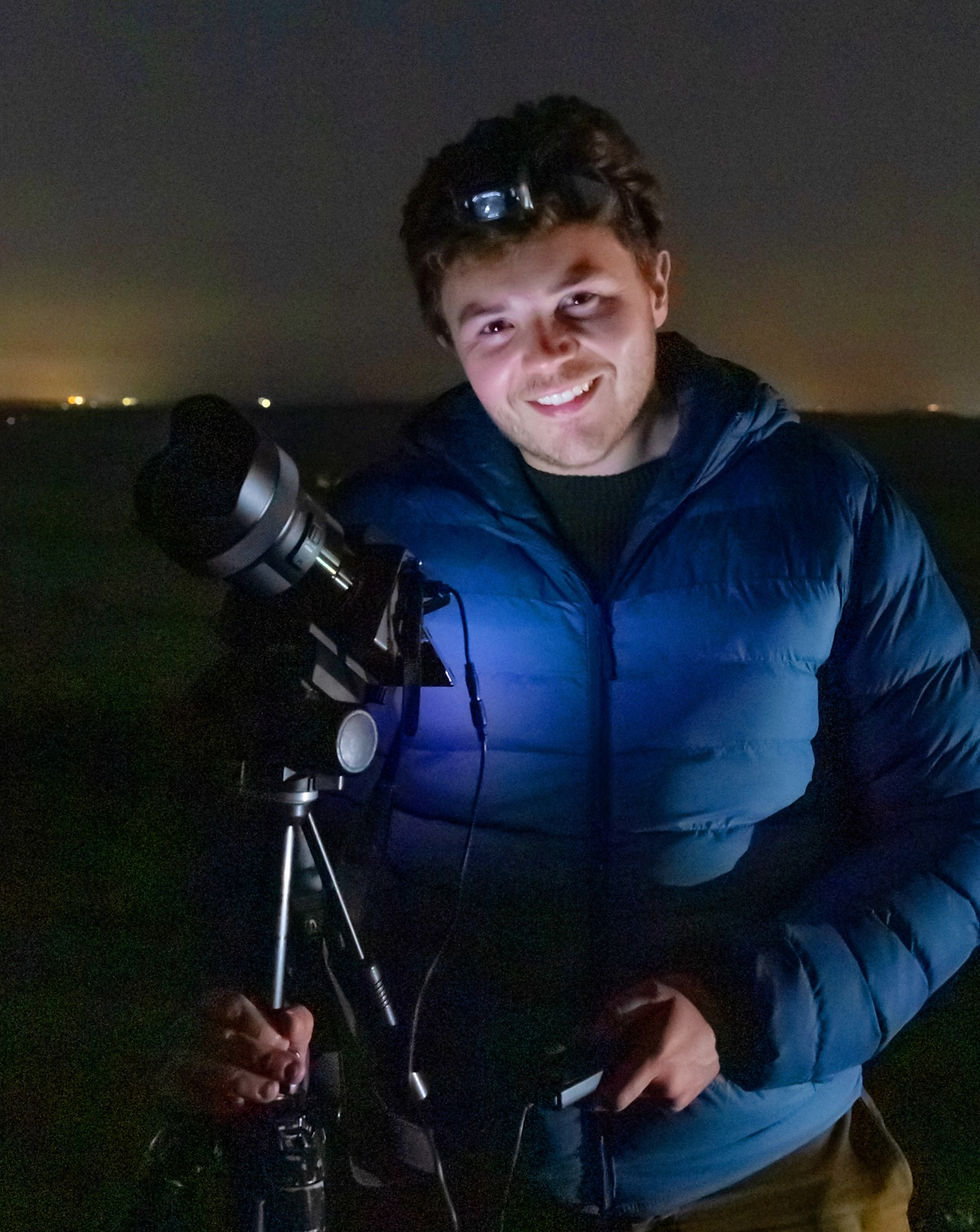
As a Landscape Astrophotographer that is proud to call the Mendips, their home - this leap in conservation is not only the first of its kind for the area and second across The United Kingdom, but from the perspective of Dark Skies, this is an important step in the right direction.
Not only does this mean the protection of land for nature conservation, but this also protects our "Dark-Sky Status" for years to come. Every day, the impact of Artificial Light at Night (ALAN) is growing as a posing risk for our protected areas with potential increase for greenfield and housing development - posing a risk to our natural landscapes and views of the night-sky.
As it stands, The Mendips measures as 4.5 on The Bortle Scale, which can be used to measure the amounts of light pollution generated by both skyglow and skyglare from nearby towns and cities. Its this spread of ALAN that affects dark skies and when considering our protected areas where lighting should be used only where and when needed. This means The Mendips sits in the middle of this scale between light and dark.
It's not hard to see from The Bortle Scale Map below how extensive Light Pollution has come from across The United Kingdom. In the words of my friend and one fo the greats in Dark-Sky Conservation - The Late, Bob Mizon "It has gotten out of control".


Through the impacts of urban sprawl, we are lucky to have the quality of dark skies we have left. And it is my hopes of partnering with The Mendip Hills AONB to raise public awareness of dark skies through this initiative to consider for the local area and surrounds as to how lighting not only affects our 'window to the universe', but how this will hang a knock-on effect with nocturnal wildlife, migratory corridors as well as human health, which I am sure will be positively impacted by this initiative. I personally hope this initiative see's a changing attitude towards lighting in mimising our place on The Bortle Scale.
Do I see this as a step in the right direction? - 100%. As a part of The King's Series, The UK will see the creation of 25 reserves over the next five years to tackle nature loss and enable species to thrive, all while improving access to these precious landscapes.
It is my hope alongside protecting endangered British Wildlife and our precious landscapes that the night-sky will also be considered. I can certainly see this initiative to be seen as a 'trend setter' not just for the United Kingdom, but other countries in protecting and unifying our protected areas.

Click the link here for the from the Government Website declaring the change as a Super National Nature Reserve.
This has since led to being partnered with The Mendip Hills AONB in Partnership with the National Trust; being involved as a part of their initiative to 'join together' the landscape once more. I couldn't be more proud to support my homelands and rural heritage; knowing I am doing my part to protect dark skies and local ecology for future generations.

AONB - Area of Outstanding Natural Beauty.
SSI - Site of Special Scientific Interest.


Comments